Bells Line of Road
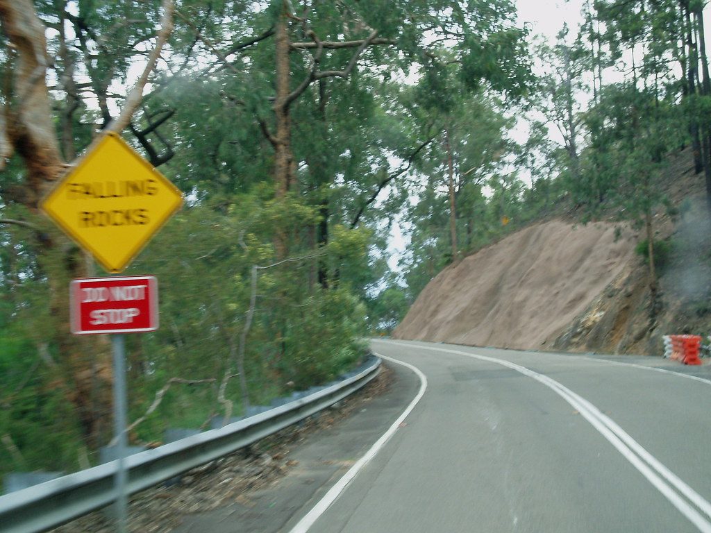
- Highest
- 1,001 m
- Lowest
- 758 m
- Climb
- 440 m
- Descent
- 299 m
- Start to end
- 758 → 899 m
- Steepest
- 11.7%
11 kmEnd to end
0h 06m
Riding time
Flowing
Twistiness
Paved
Surface
The quieter way over the Blue Mountains, and the better one on a bike.
It carries a fraction of the Great Western Highway's traffic and considerably more corners, climbing through orchards and then forest to Mount Tomah.
The descent to Lithgow at the western end is the best part and the part most people rush.
Fog sits on the top in the cooler months, and the temperature at Bell can be ten degrees below the valley.
More on this road: The best motorcycle roads near Sydney
Rides that use it
Sydney five-day NSW loop · the whole ride
1311 km
Sydney five-day NSW loop · Day 1 · the Bells Line of Road to Mudgee
292 km
Bells Line – Bilpin
132 km
Penrith-Katoomba-Richmond
125 km
Photos are contributed by riders and reviewed before they appear here. Conditions change — check before you go. Map data © OpenStreetMap contributors.